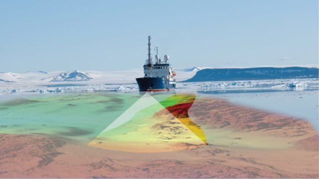
Kartverket collects, organizes, manages, and disseminates geographic information. This includes national, digital map series (land and sea maps) and detailed altitude and depth data.
Kartverket is responsible for the geodetic basis, positioning services, electronic sea chart service, water level, place names, registration, property information, and is the national coordinator of geodata.
Kartverket is one of the GSP’s observers.